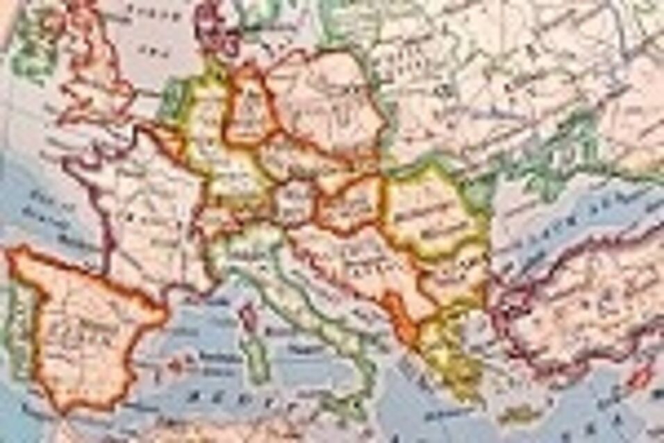
Yet in geography classes at school, to our knowledge, maps are still introduced and explained using analogue textbooks.
To date, there is no solid empirical evidence regarding teachers’ educational media choice connected to maps. Similarly, little is known about the educational media students use to acquire map skills.
The three universities involved in this proposal build on previous work carried out in three national settings, covering different aspects of textbook usage in the context of maps. Mixed methods, including surveys and eye-tracking studies will help answer the main research questions.
The two projected CENTRAL workshops will help the stakeholders to get on the same page (or in this case: ‘on the same map’) while updating the theoretical and methodological knowledge. In doing so, junior researchers will play a key role in initiating empirical work and publish the preliminary results in joint papers. This preparatory works serves as a starting point for a research grant submission with the EC.
- Partners: Eötvös Loránd University – ELTE (Budapest), Charles University (Prague), Humboldt University Berlin
- Project Lead: Prof. Dr. Dr. Péter Bagoly-Simó, Humboldt University Berlin
- Year: 2019